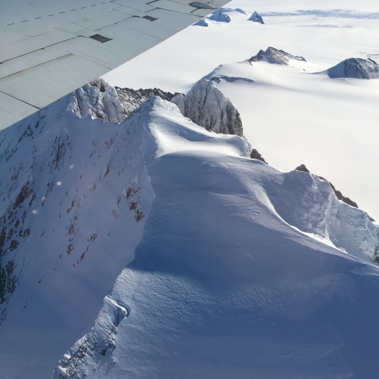
We fly our DC-8 aircraft very low over Antarctica as part of Operation IceBridge – a mission that’s conducting the largest-ever airborne survey of Earth’s polar ice.
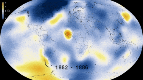
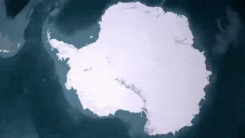
Records show that 2015 was the warmest year on record, and this heat affects the Arctic and Antarctica – areas that serve as a kind of air conditioner for Earth and hold an enormous of water.
IceBridge flies over both Greenland and Antarctica to measure how the ice in these areas is changing, in part because of rising average global temperatures.
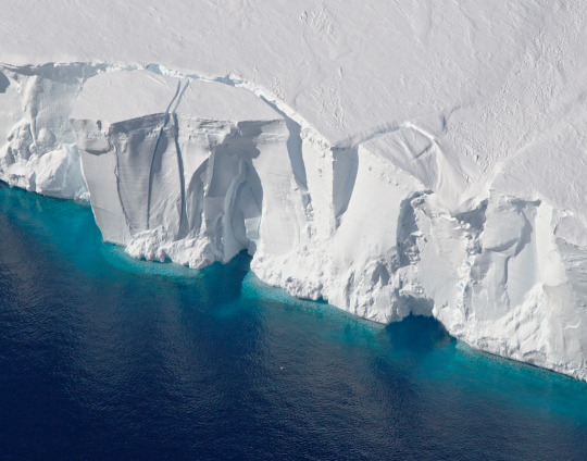
IceBridge’s data has shown that most of Antarctica’s ice loss is occurring in the western region. All that melting ice flows into the ocean, contributing to sea level rise.
IceBridge has been flying the same routes since the mission began in 2009. Data from the flights help scientists better measure year-to-year changes.
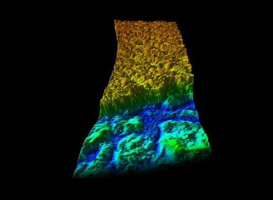
IceBridge carries the most sophisticated snow and ice instruments ever flown. Its main instrument is called the Airborne Topographic Mapper, or ATM.The ATM laser measure changes in the height of the ice surface by measuring the time it takes for laser light to bounce off the ice and return to the plane – ultimately mapping ice in great detail, like in this image of Antarctica’s Crane Glacier.
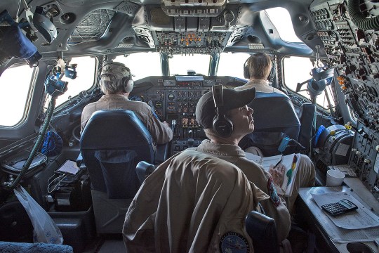
For the sake of the laser, IceBridge planes have to fly very low over the surface of snow and ice, sometimes as low as 1,000 feet above the ground. For comparison, commercial flights usually stay around 30,000 feet! Two pilots and a flight enginner manage the many details involved in each 10- to 12-hour flight.
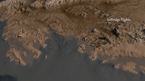
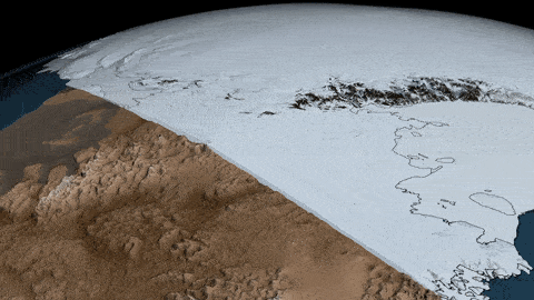
One of the scientific radars that fly aboard IceBridge helped the British Antarctic Survey create this view of what Antarctica would look like without any ice.
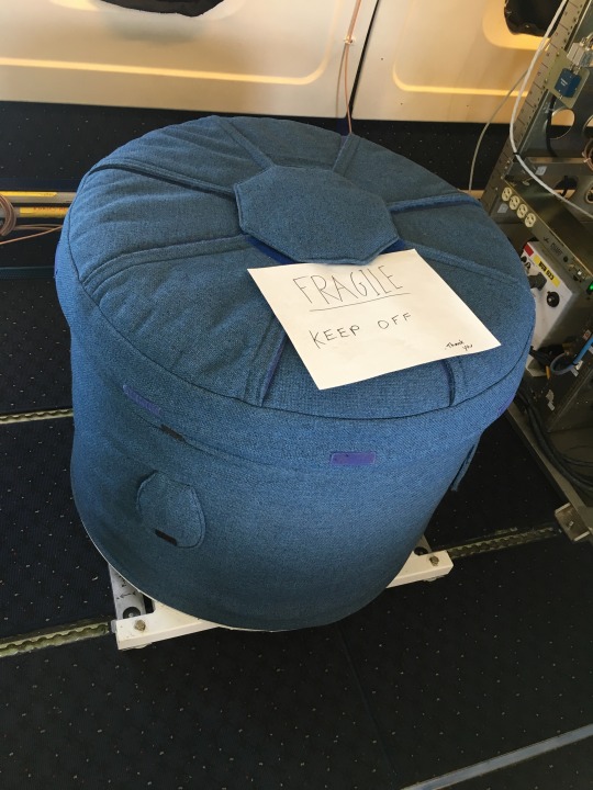
IceBridge also studies gravity using a very sensitive instrument that can measure minuscule gravitational changes, allowing scientists to map the ocean cavities underneath the ice edges of Antarctica. This data is essential for understanding how the ice and the ocean interact. The instrument’s detectors are very sensitive to cold, so we bundle it up to keep it warm!
Though the ice sheet of Antarctica is two miles thick in places, the ice still “flows” – faster in some places and slower in others. IceBridge data helps us track how much glaciers change from year-to-year.
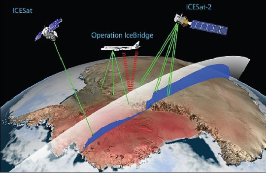
Why do we call this mission IceBridge? It is bridging the gap between our Ice, Cloud and Land Elevation Satellite, or ICESat – which gathered data from 2003 to 2009 – and ICESat-2, which will launch in 2018.
Learn more about our IceBridge mission here: www.nasa.gov/icebridge and about all of our ice missions on Twitter at @NASA_Ice.